This site is automatically updated with the latest NOAA POES weather satellite images as received in Cork, Ireland.
The installed receiver currently tracks the NOAA15, NOAA-18, and NOAA-19 NOAA POES satellites and posts the received imagery after each pass – usually at least twice per day. The resulting imagery shows weather patterns along a ground track often reaching from North Africa to Greenland, with a coverage width of approximately 2600 km.
The system setup is described on the pages The Antenna, The Receiver, Receiver Control, and Image Generation.
Contact
If you have any questions or comments about this site then please contact Phil at wx@philandmel.com.
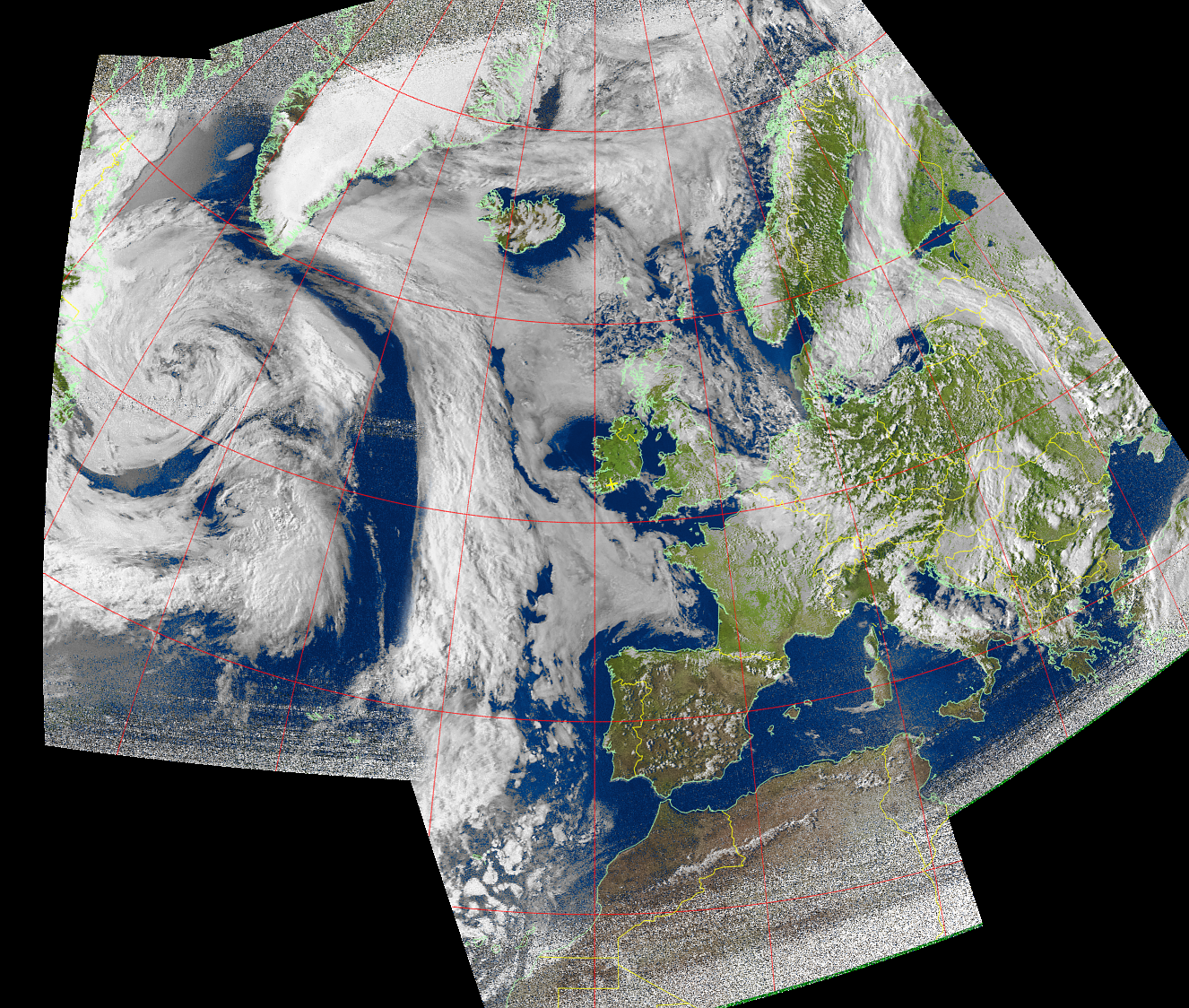
Multispectral Analysis composite false colour image recorded from three consecutive passes of NOAA-15 on 15 May 2016.